Introduction: The Lifeline of Delhi
Navigating a sprawling metropolis like Delhi can be daunting, but the Delhi Metro Rail Corporation (DMRC) has transformed urban travel. At the heart of this system lies the Delhi Metro Map—a colorful, efficient web that connects every corner of the city and the National Capital Region (NCR). For tourists and residents alike, understanding this map is the key to unlocking affordable, fast, and stress-free travel. This guide will turn you from a confused first-timer into a confident metro navigator.
Why the Delhi Metro is Your Best Travel Companion
Before diving into the map, it’s important to know why the metro is the preferred choice:
- Efficiency: Beats Delhi’s infamous traffic jams every time.
- Affordability: Cost-effective compared to taxis and auto-rickshaws.
- Cleanliness & Safety: Well-maintained stations and coaches with strong security.
- Extensive Network: Reaches far beyond central Delhi to Noida, Ghaziabad, Gurugram, and Faridabad.
How to Read the Delhi Metro Map: Colors, Codes, and Connections
The Delhi Metro map is a diagrammatic map, meaning it prioritizes clear connections over geographical accuracy. Here’s how to decode it:
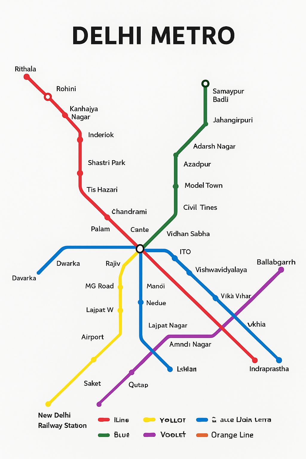
The Color-Coded Lines
Each line has a unique color and name, making it easy to identify.
- Red Line: Dilshad Garden → Rithala (The first line, connecting the north and northeast).
- Yellow Line: Samaypur Badli → HUDA City Centre, Gurugram (A vital north-south artery, connecting to the airport via the Airport Express Line).
- Blue Line: Dwarka Sector 21 → Noida Electronic City / Vaishali (One of the longest lines, connecting west Delhi with Noida and east Delhi).
- Green Line: Inderlok → Brigadier Hoshiar Singh (Connects the western and outer parts of Delhi).
- Violet Line: Kashmere Gate → Raja Nahar Singh (Ballabhgarh) (Connects Central Delhi to the southern and far-southern regions).
- Airport Express Line (Orange Line): New Delhi Railway Station → Yashobhoomi Dwarka Sector 25 (A high-speed line connecting the city center to the Delhi Airport (IGI) and now Dwarka).
- Magenta Line: Janakpuri West → Botanical Garden (Connects west and south Delhi, passing through the airport).
- Pink Line: Majlis Park → Shiv Vihar (A massive ring line that forms an outer circle, improving connectivity across all other lines).
- Grey Line: Najafgarh → Dhansa Bus Stand (A short line servicing the Najafgarh area in west Delhi).
Key Intersections & Interchange Stations
Interchange stations are where you can switch from one line to another. Knowing the major interchanges is crucial for planning your route.
- Rajiv Chowk: The busiest interchange, connecting the Yellow and Blue Lines. Heart of the commercial hub.
- Kashmere Gate: A major historical and transport hub connecting the Red, Yellow, and Violet Lines.
- Central Secretariat: Connects the Yellow and Violet Lines, providing access to government buildings.
- Mandi House: A cultural hub connecting the Blue and Violet Lines.
- Hauz Khas: Connects the Yellow and Magenta Lines, a popular social and commercial spot.
- Azadpur: Connects the Yellow, Red, and Pink Lines.
How to Use the Delhi Metro: A Step-by-Step Guide
- Plan Your Route: Use the map to identify your starting station and destination station. Note the line colors and any interchanges.
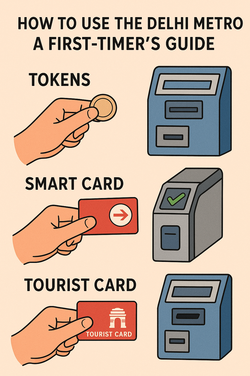
- Purchase a Token or Card:
- Single Journey Token: A red/green RFID token for a one-time trip. Best for tourists.
- Smart Card: A rechargeable card perfect for multiple journeys. Offers a 10% discount on every ride and is much faster.
- Enter the Station: Place your token/card on the reader at the Automated Gate. The gates will open.
- Find Your Platform: Follow the clearly marked signs for your line’s color and direction (e.g., “Blue Line towards Noida”).
- Board the Train: Let passengers exit first. Mind the gap between the platform and the train.
- Interchange (if needed): At interchange stations, follow the color-coded signs to your next line.
- Exit at Your Destination: At the exit gate, insert your token into the slot or tap your smart card to exit.
Essential Tips for a Smooth Metro Journey
- Use Digital Maps: Download the official ‘Delhi Metro Rail’ app for an interactive map, trip planner, and real-time information.
- Peak Hours: Avoid travel between 9 AM – 11:30 AM and 5 PM – 7:30 PM if possible, as it can be extremely crowded.
- Respect the Rules: The metro is a no-smoking, no-littering zone. Eating and drinking are prohibited inside the coaches.
- Women’s Safety: The first coach of every train is reserved for women. It is generally safe and recommended for women traveling alone.
- Tourist Hotspots: The metro provides easy access to key sites like Qutub Minar (Yellow Line), Red Fort (Red/Violet Lines), Akshardham (Blue Line), and Lotus Temple (Violet Line).
Conclusion: Your Key to the City is in Your Hand
The Delhi Metro map is more than just a diagram; it’s a ticket to freedom and exploration in India’s dynamic capital. By understanding its simple color-coded logic and following the easy steps outlined in this guide, you can navigate Delhi like a local. So, grab a smart card, pull up the map, and embark on your next Delhi adventure with confidence.